Hiking the Iconic Koppenberg Route in Flanders

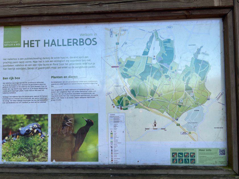
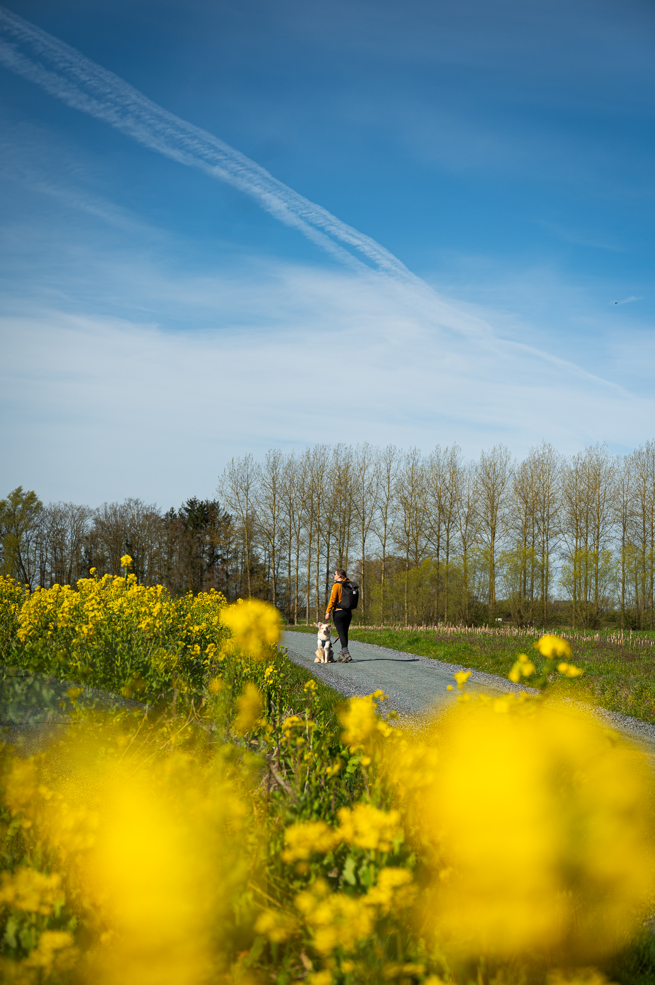
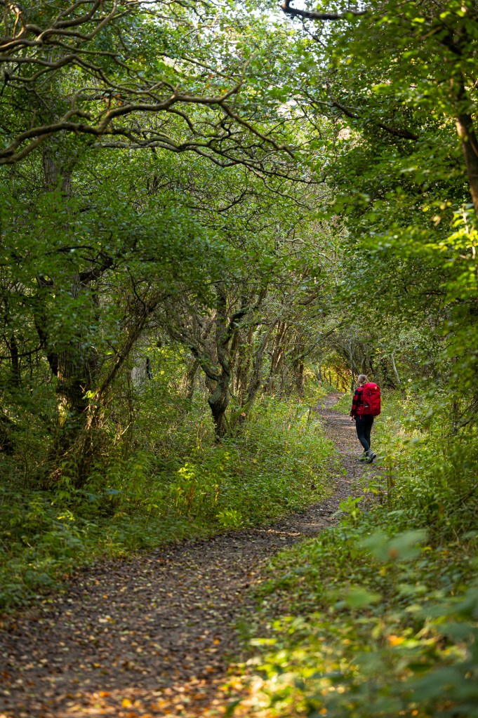
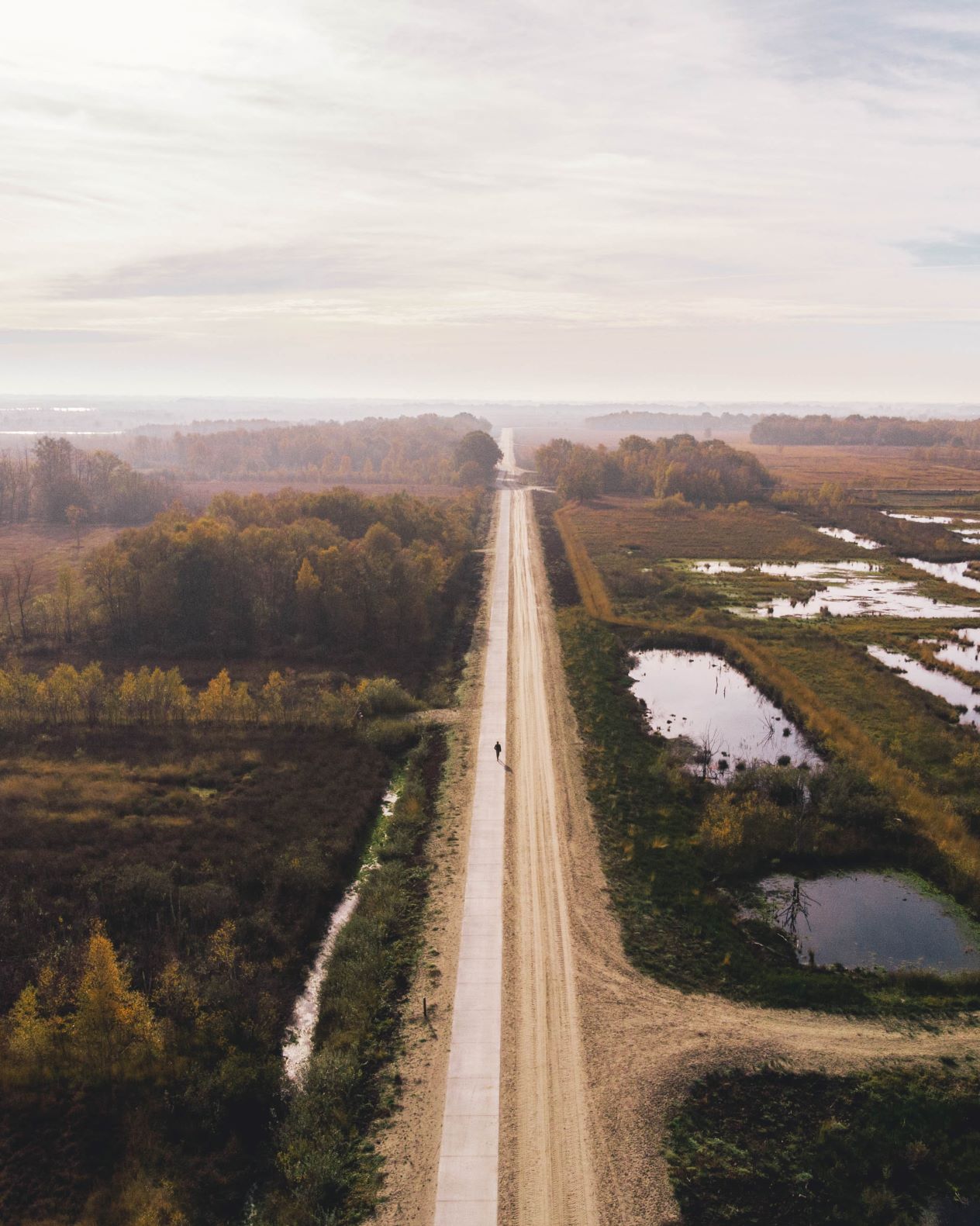
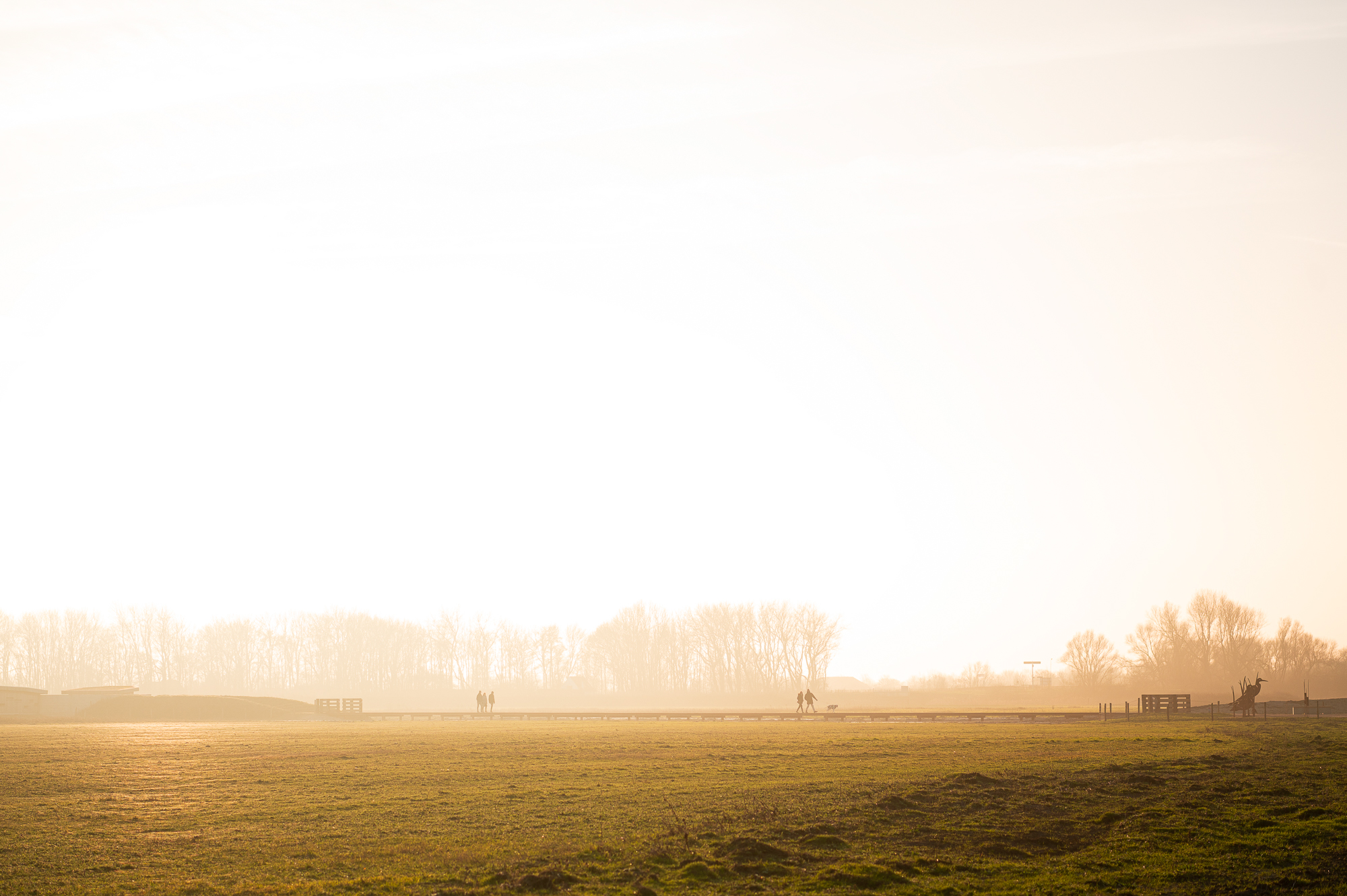
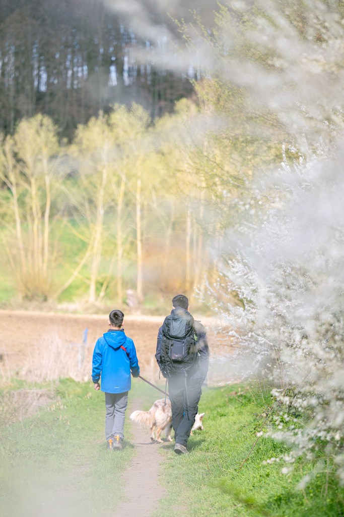
With two guys in the house that absolutely love cycling. We had to hike this route. It is a 15.3 kilometer hike, starting in Nukerke in the Flemish Ardennes. The hike takes you along some of the famous climbs of the tour of Flanders. This time not with a bike, but we hiked on foot. 66% of the hike is paved, as it takes you along the beautiful back roads of the Flemish Ardennes. But you also cross through some of the most beautiful forests in the Flemish Ardennes. Especially in the spring, when all the spring flowers are blooming and the trees are starting to turn green.

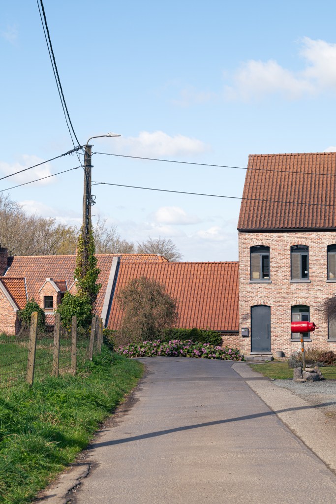
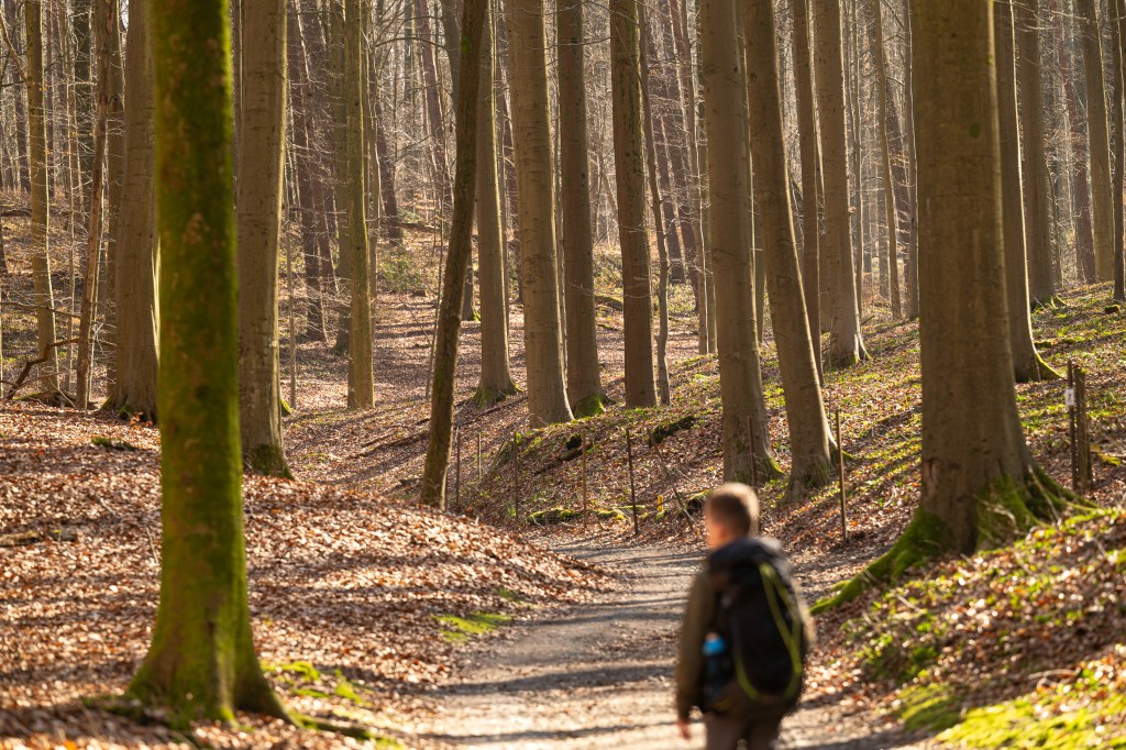
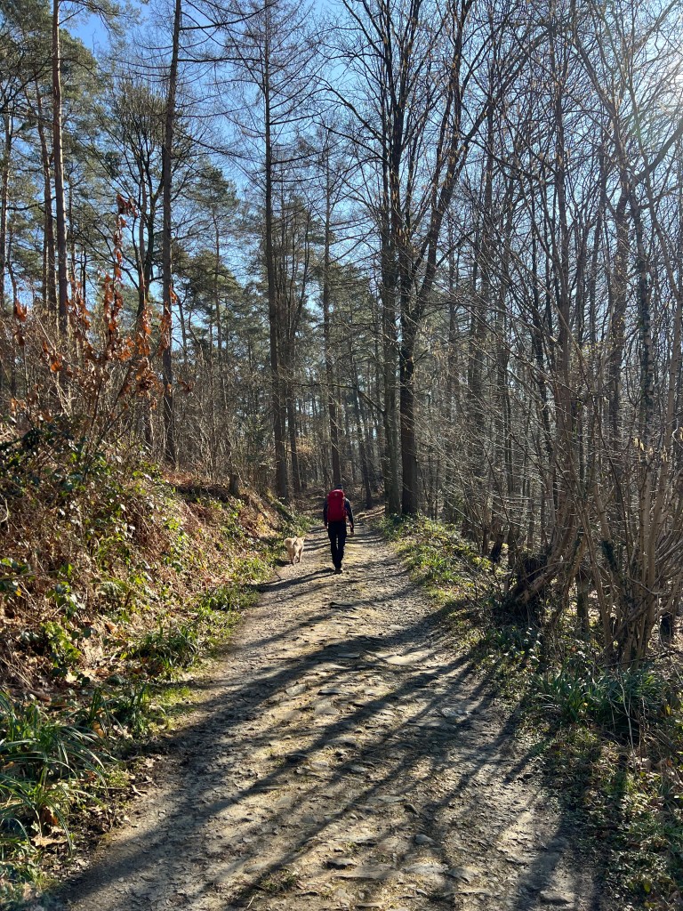
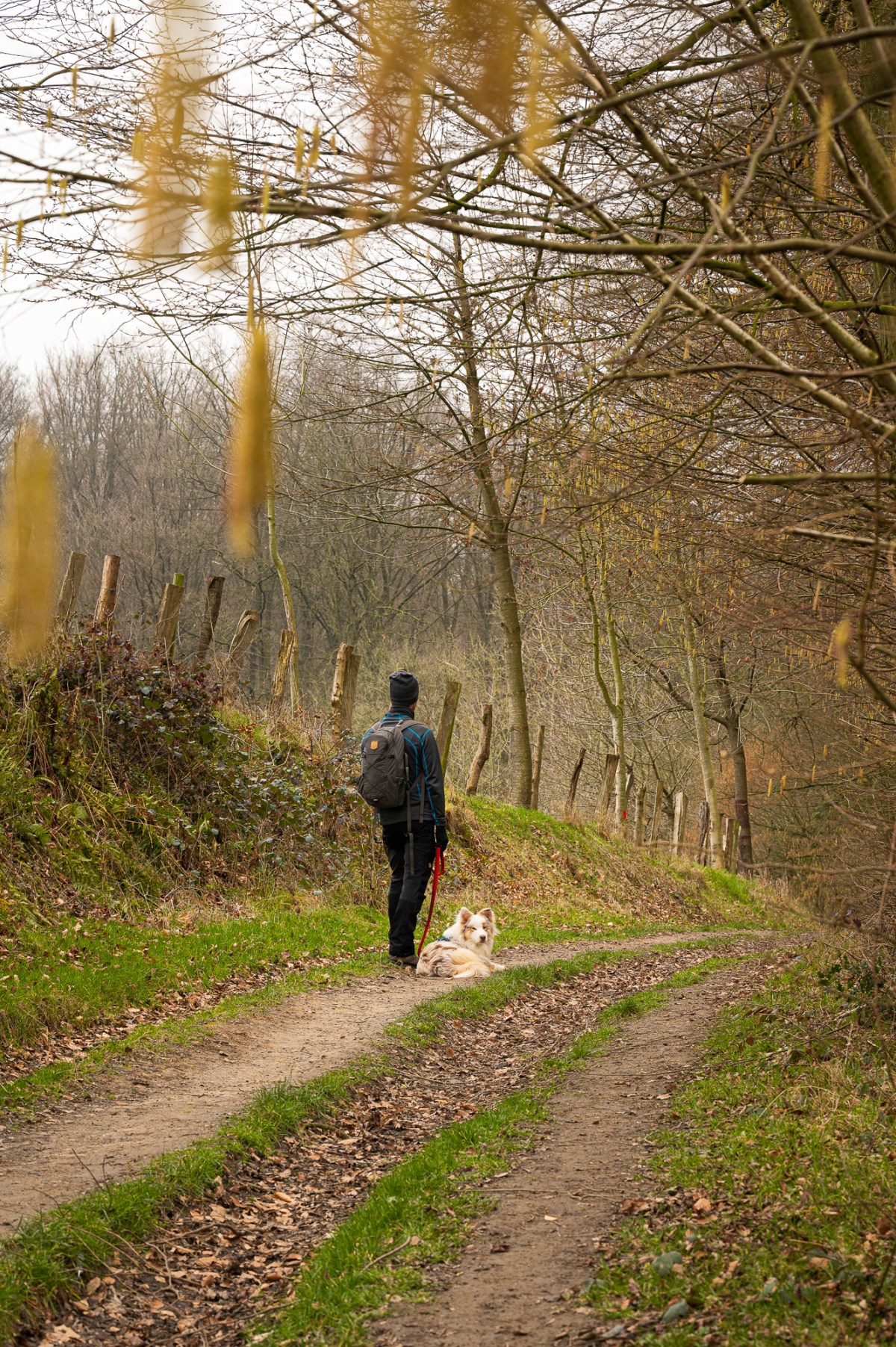
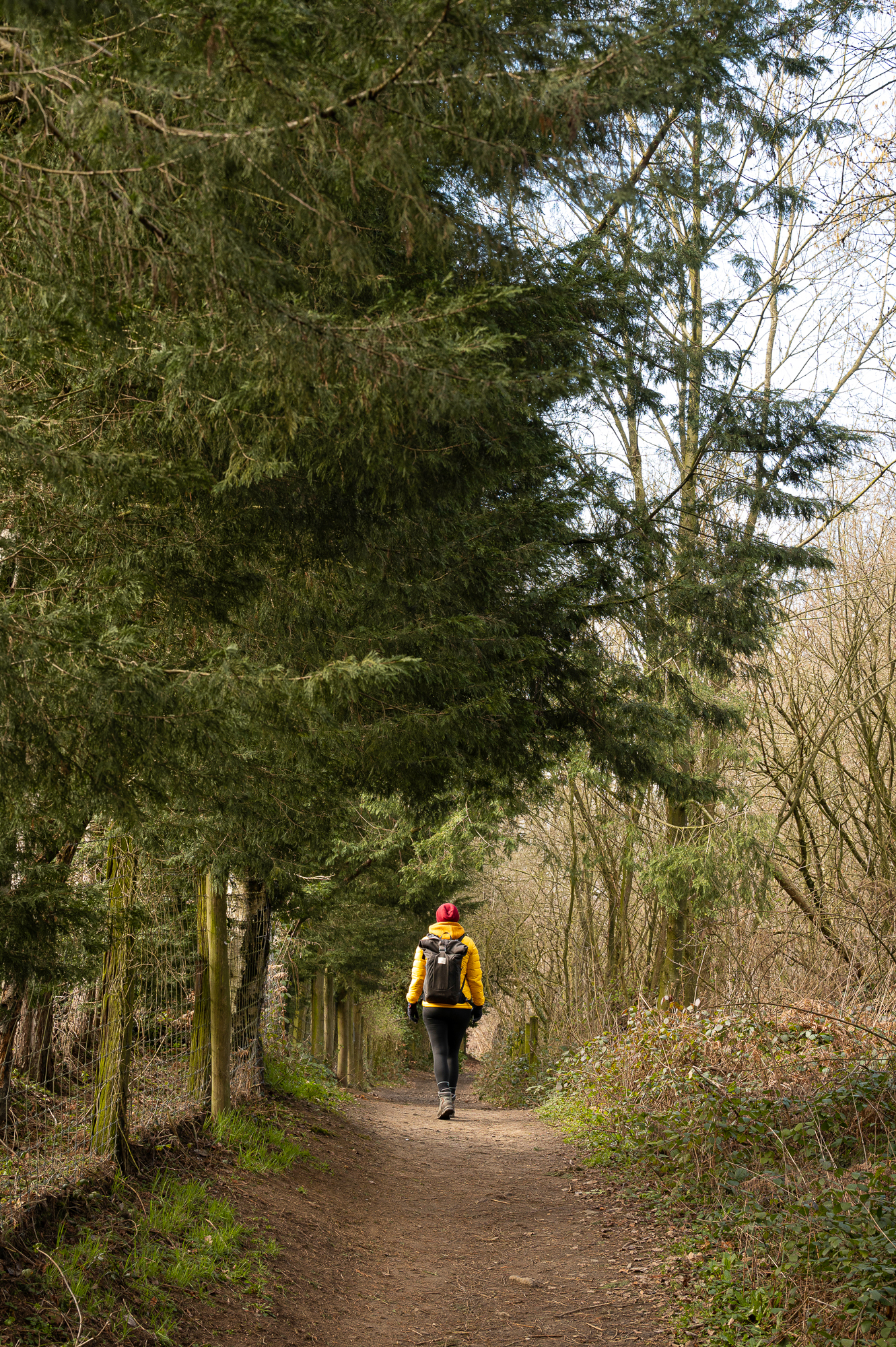
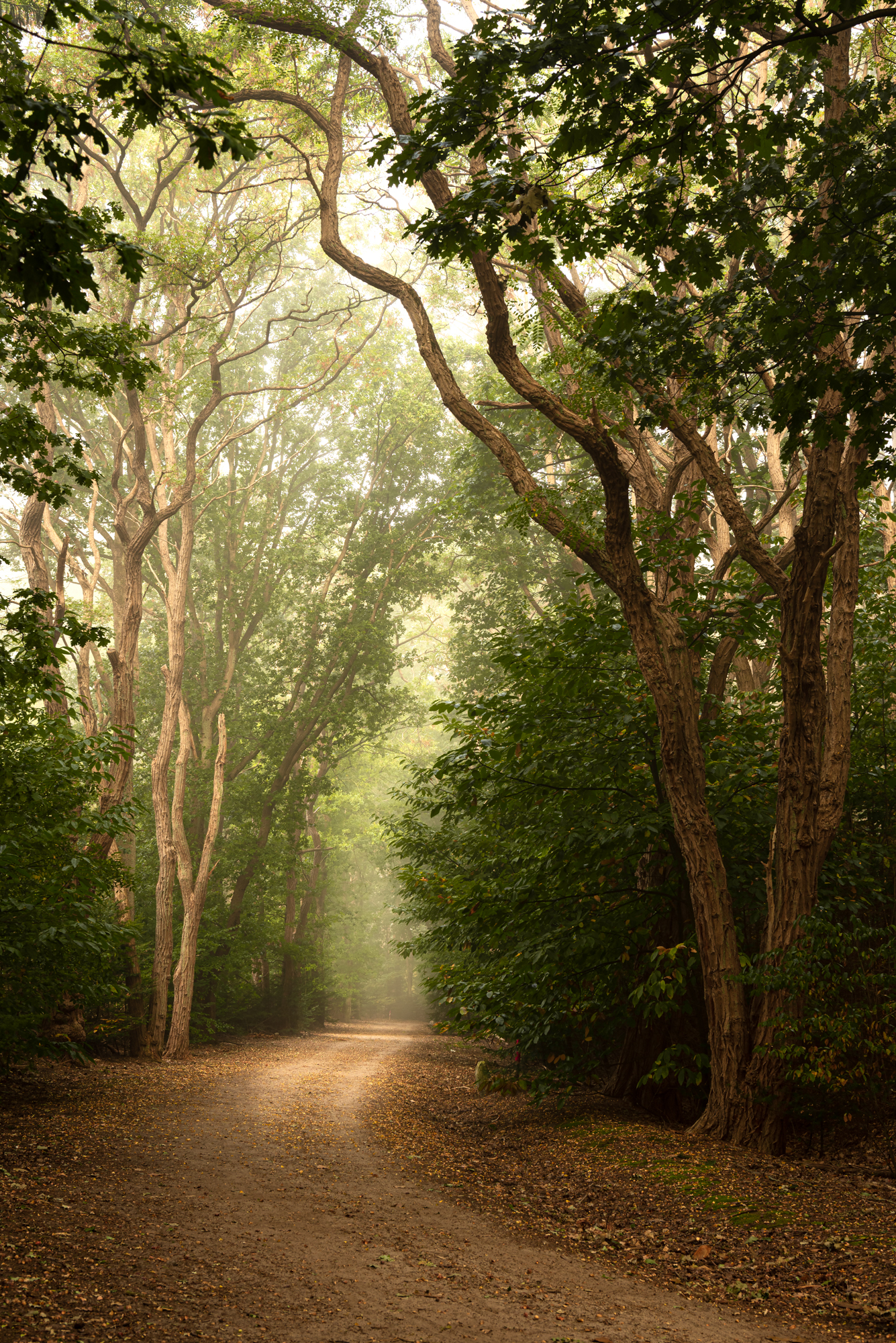
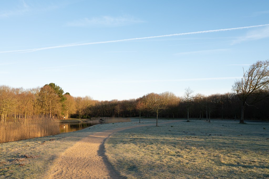
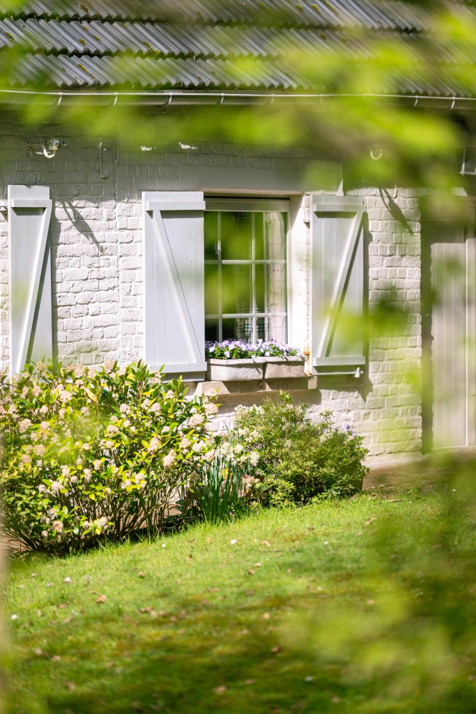
We parked our car next to the church in Nukerke. Which is free of charge. In front the church you will find the first node. Which will take you out of town. Up until the road N60. which you have to cross, both at the beginning and at the end of the hike. But after the crossing you will walk along the most beautiful back roads and through the winding forests. The first forest that you will walk along is the Spijker Forest. It is one of the few forest laying on a south slope. Which means you can enjoy the sunshine here the entire day. Which we did, as we chose a beautiful sunny spring day to hike this route.

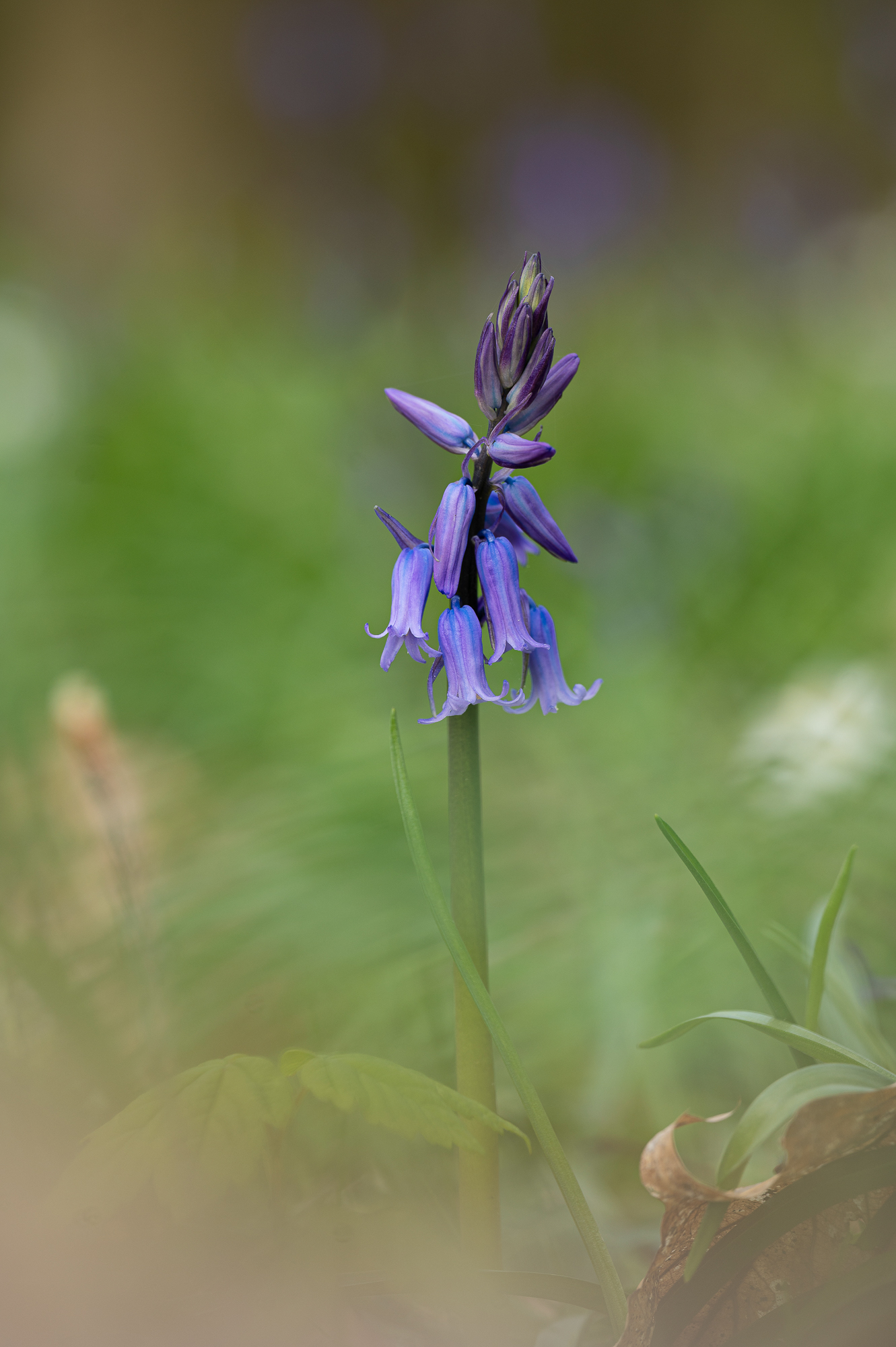
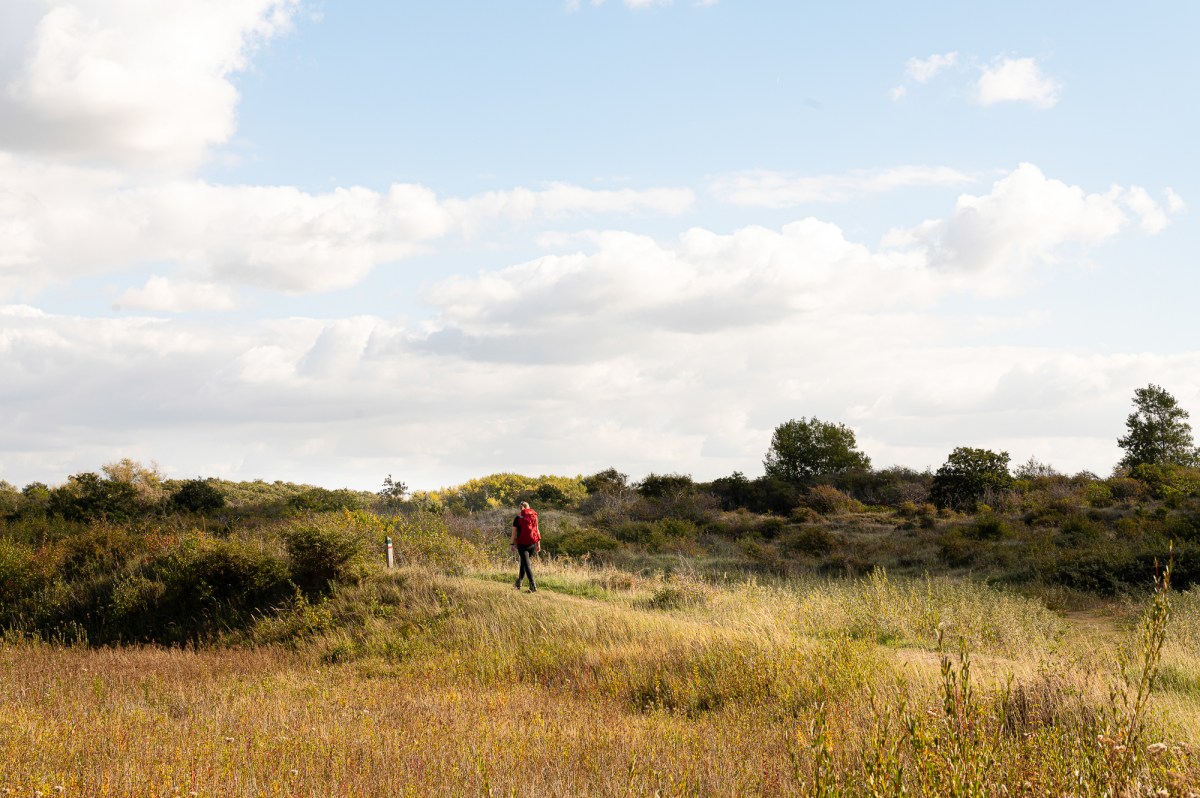
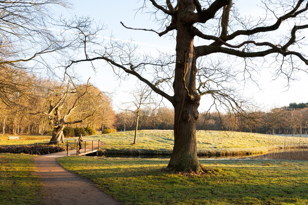
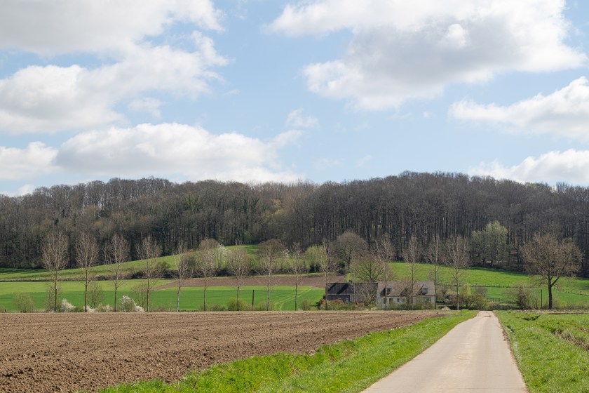
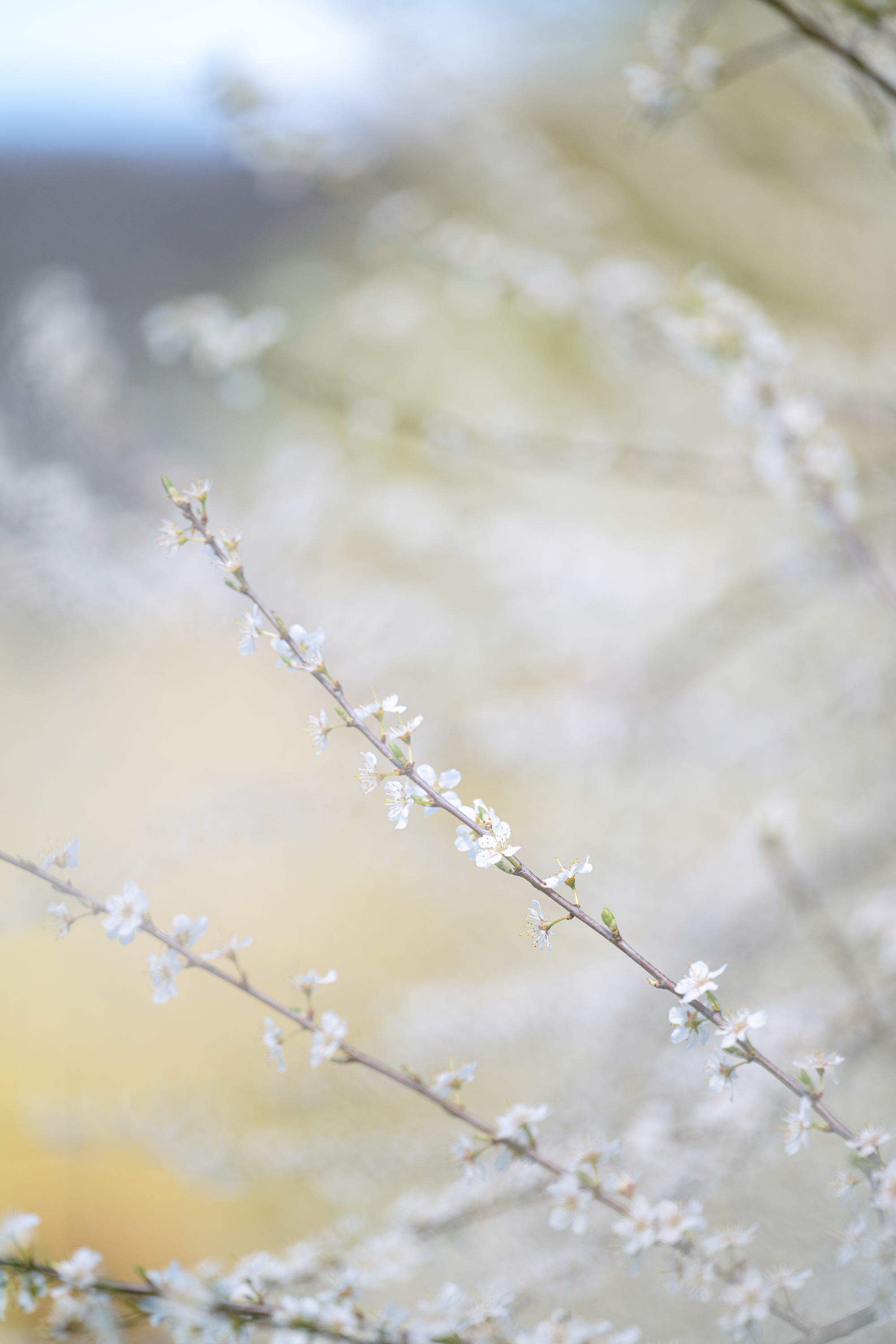
When you leave the forest of Spijker. You will walk along the beautiful country side of the Flemish Ardennes. With a beautiful view over the rolling hills. You will also have some climbs on your way. After a while, you enter back into the Spijker forest. When we were there the Spijker forest was covered in forest anemones. Which was incredibly beautiful. We also spotted a few bluebells already blooming.

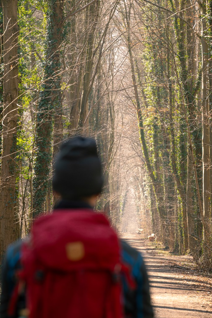
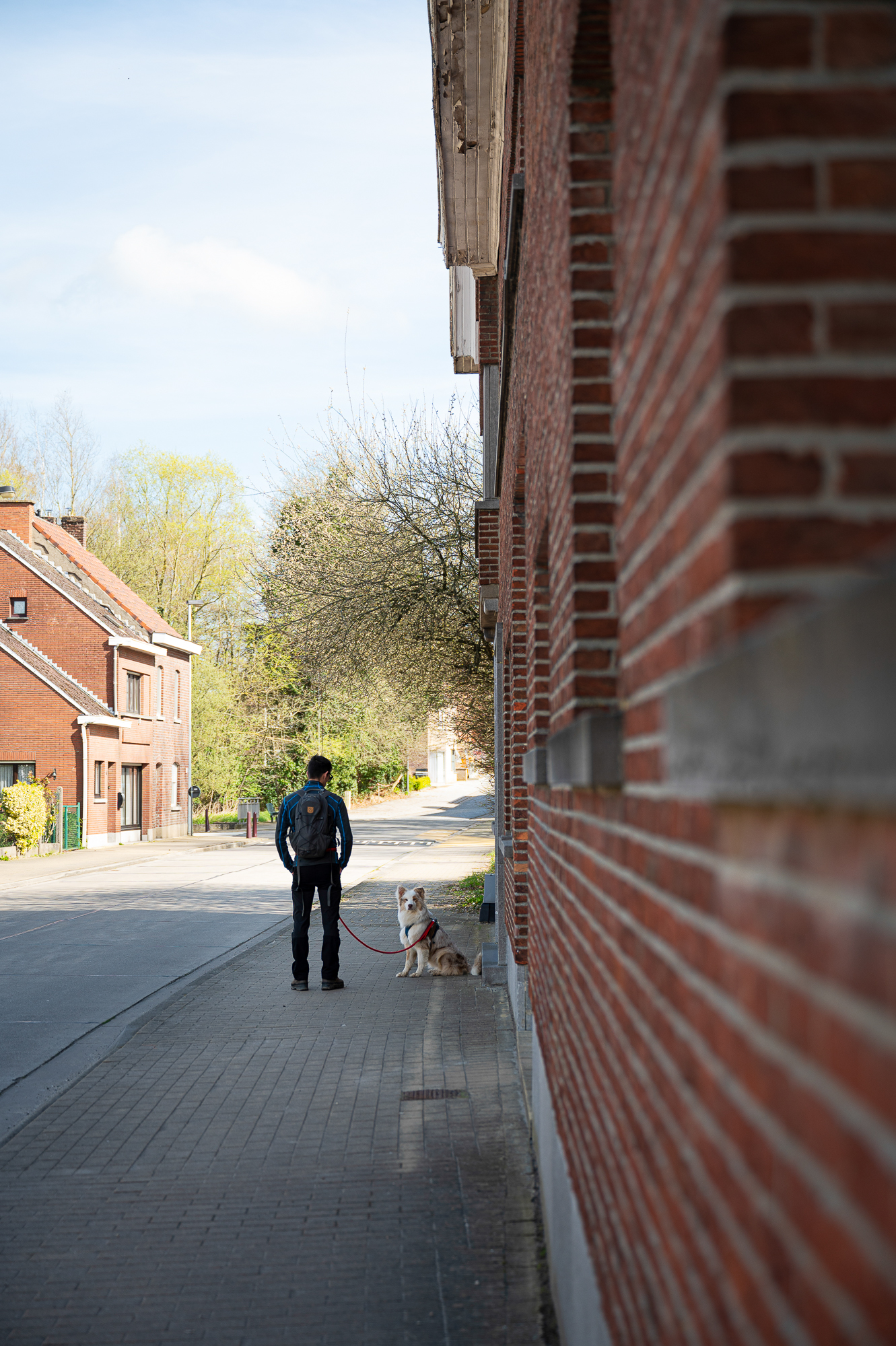
Unfortunately we had to leave the forest again, and we headed over to the famous Koppenberg, with its 22% incline. Lucky for us, you hike up the Koppenberg from the side. You hike down the path the tour of Flanders comes up the incline. Ofcourse you can’t visit this iconic place of the tour of Flanders, without spotting a lot of cyclist. I wouldn’t have liked to trade places with them cycling up. If you are a cycling enthusiast, this is a perfect way to explore this iconic incline. You can do so without the pain of cycling up.

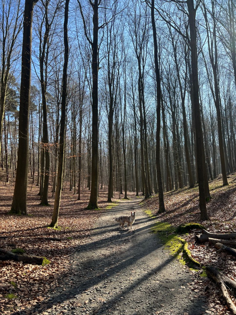
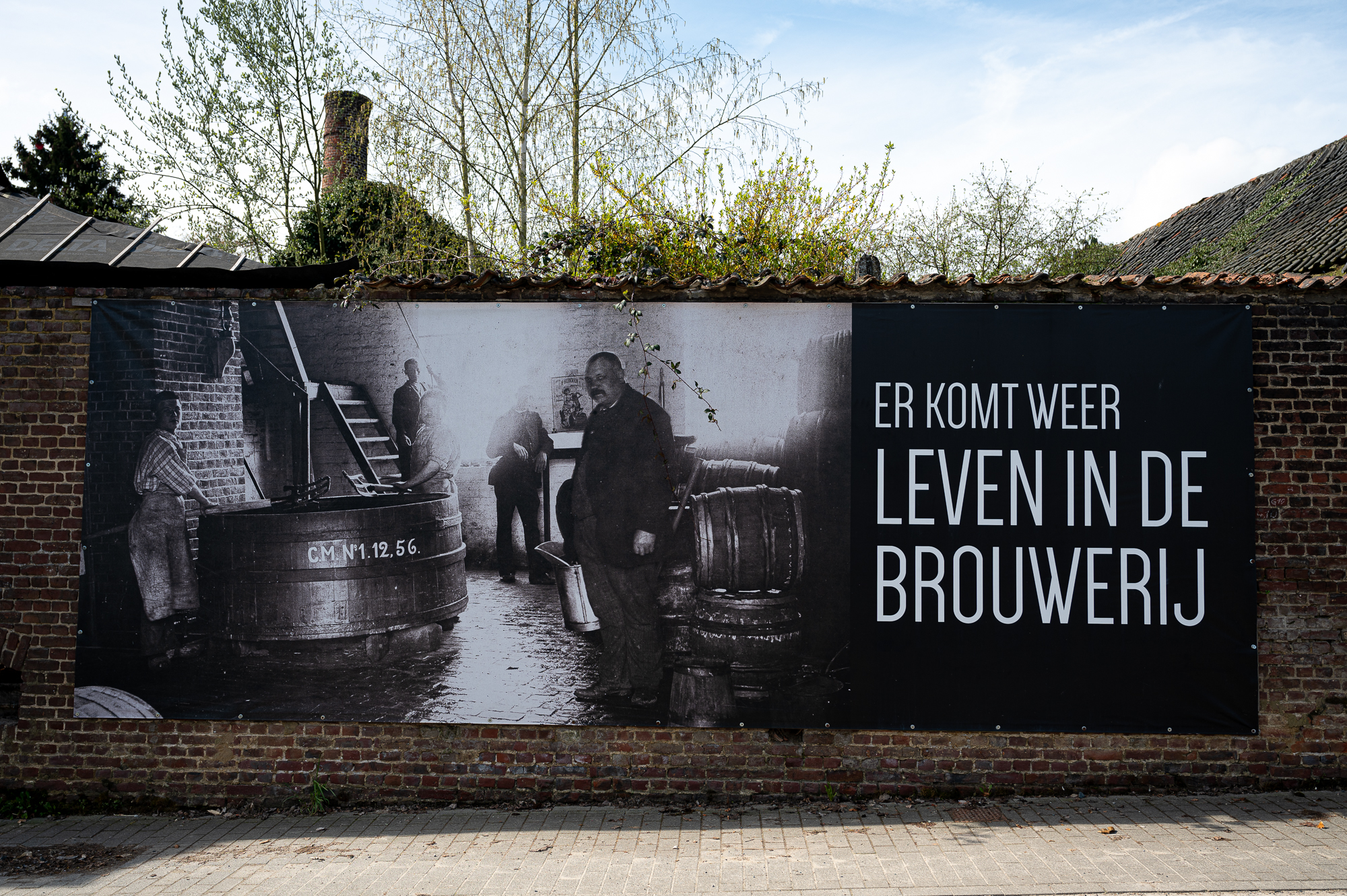
After the Koppenberg it was time to head back into the forest, this time it was the Koppenburg forest. If you don’t feel like hiking an incline, you can skip the hike up in the forest. As when you hike along the road you will end up at the same point again. As the nodes will only take you up the stairs in the forest and back down. We did hike up and down though. After this it was back into the Koppenbergforest for the last stretch of the hike. The Koppenberg forest is a beautiful forest. In the forest you will find information boards about the role the forest played in World War I. In spring you will also find bluebells in this forest. We didn’t spot any blooming yet, but the first signs of their leaves are already popping up everywhere. This forest path takes you through the forest back up the N60. Where you will hike parallel to it for about one kilometer. You have to cross it one last time to finish in the village of Nukerke.

Let me know if you would go and hike this beautiful route.

Starting point: Nukerkeplein, Maarkedal
Length: 15.3 kilometers
Starting point: Nukerkeplein, Maarkedal
Elevation: 350 meters
Time: we hiked this in 4 hours, with a lunch break

Discover the Haller Forest: A Spring Hike in Belgium

The beautiful forest of Haller is located near Brussel, Belgium. It is famous for the beautiful blue bells in spring. But the Haller forest is beautiful in every season. In March we hiked the 7 kilometer yellow roe deer route. It takes you through 3 of the 4 valleys you will find in the Hallerforest. And about 50% of the hike takes you through the blue bell areas in the forest. During blue bell season there are special blue bell hikes set out.

We started our hike at parking 1. There are different parking areas in the Haller forest and they are all free of charge. Since we parked at parking one, we had to hike about 1 kilometer to the start of the trail. We wanted to hike further than 7 kilometers, so this wasn’t too bad. One of the things we love about hiking in the Haller forest is that it isn’t flat like the Netherlands. So you start off with a descent and ascent right away. The other thing I love about the Haller forest is the variety in trees. Even in March, the forest wasn’t completely bare. It was actually still quite green in some areas with needle leave trees. And a big plus is that the needle trees smell amazing.

This hike completely takes you through the forest. If you want to hike even further, you can connect the yellow and the blue hike. This connection makes for an even longer hike. We decided while hiking up to the start of the route from the parking lot. We would only do the yellow route.

As I said the hike takes you through 3 of the 4 valleys of the Haller forest. I love the diversity of the different valleys, with different trees and different plants. Besides blue bells, you will find many wild flowers during spring here. We already spotted the first sign of wood anemones.

Also the height differences makes for a beautiful sight. It also makes this hike a little bit more challenging than the average forest hike in the Netherlands. Even though we have had a lot of rain this winter, the trails weren’t muddy. Which made for a pleasant hiking experience during this time of the year.

If you plan to visit during the blue bell season, check the forest’s website. This will guarantee you know which parking areas are open. You can also check and see if the bluebells are in bloom yet.


Let me know if you decide to visit this forest in Belgium this year.

Hiking in the valley of Zwalm, Belgium

Since The Netherlands is relatively flat, I love to go hiking in Belgium. One of the areas I love to visit is the Flemish Ardennes. A beautiful area with rolling hills and beautiful forests. But you will also find beautiful valleys with winding rivers, like the river of Zwalm. This is the area I would like to tell you a bit more about in this blog post.

We picked the Zwalmriver hiking route, which is 13,2k long. We started our hike at Rekengemstraat, in Zwalm. Where you will find the Zwalm Mill, a beautiful piece of history of this area. As the mill was used to process grain.

You can park your car next to the mill. But there are multiple other parking lots along the route, where you can park your car. Along the route you will also find multiple little restaurants where you can stop for a drink or a bite to eat. Unfortunately restaurants “Klein Zwitserland” wasn’t open when we were there, but it truly looked so picturesque and it was situated right along the river.

The first part of the road you will walk along the river the Zwalm the entire time. You will pass multiple watermills. The calming sound of the water will join you the first part of the hike.

At the halfway point you will enter the backroads of the area. Here you will hike along the roads until about 1k until the end. I don’t like hiking on roads, but it does provide for some beautiful views. You can even watch the windmill on the “Molenberg”, which is the “Huisekoutermolen”. Which was a beautiful sight.

For the last kilometer you will hike along the river the Zwalm again. At first we thought we didn’t take the right turn, as it didn’t seem like a path, but after continuing for just a bit, we found that we were in the right place and we came across the route markings again.

We finished our hike back at the mill in Zwalm.
All in all a beautiful hike, but if you don’t like hiking along roads, this might not be the hike for you. Even though the roads aren’t busy with traffic, you will still have to watch out for cars now and then.

Let me know if you try this hike.

A bluebell hike in the Kravaal forest in Belgium

If you are looking for a hike to witness the beautiful bluebells in Belgium, but you don’t want to beat the crowds at the popular places, this forest might be the place to be for you.

During the month of April multiple forests are covered in a beautiful sea of blue flowers, bluebells. A magical sight to behold that is for sure. We explored a new forest to us which is famous for it’s bluebells. A smaller forest that is, but still beautiful. The bluebells were just starting to bloom. So now would be the perfect time to visit this forest.

We decided on a 8 km hike through and along the beautiful area next to the Kravaal forest. We parked our car at a little bar called “Bij Stinne” from where we started our hike. First we hiked along the edge of the forest and unto the open fields. Which at the moment where blooming with beautiful yellow rapeseed. Which gave a lot of color to the landscape. The first leaves are also starting to show on the trees. So finally it is time to hike through some lush landscapes.

The hike is mostly unpaved, and passes in between the acres, but also through some beautiful villages close to the forest. After about 4k, you enter the forest. Which was quite muddy this time of year with all the rain. But we didn’t let the mud stop us. As we entered the beautiful Kravaal forest we had to hike a little before we reached the area where the first bluebells where showing their colors and the blossom trees where also in full bloom. As I said before this week would be the perfect time to visit this beautiful forest.

Where to start the hike?

The hike starts at Dorpveld 1 in the town of Asse.
You can park your car at the local bar called “Bij Stinne” from where you can pick up the trail.

Let me know in the comments if you try out this hike.

A winter hike in the forest of Brakel

Even though it is still cold, hiking in winter is always a good idea. Just layer up and get outside. Which is what we did on a winter’s day in February and headed to the small town of Brakel, Belgium, to visit this beautiful forest. Where you will find bluebells in just a month or so. The first bluebell leaves are already popping up everywhere.


We started our hike at the parking lot, which is free. You will find the parking lot at the end of the Brakelbosstraat, in Brakel.

There are two routes set out throughout the forest, but since these aren’t too long, we decided to make our own route, with our AlpenVerein app. We hiked a total of 8k in this beautiful forest toward the village of La Houppe, and back through the forest. From La Houppe we also climbed the Pottelberg, which is 157 meter. If you have ever visited The Netherlands, you know we would even call this a mountain. Even though it is not of course.

The forest will be home to thousands of bluebells soon, which you can already see popping up everywhere underneath the trees. The forest isn’t very big, but you can also combine this forest with other forests for longer hikes, like the two forest hike.

We enjoyed a beautiful afternoon in this beautiful forest, with it’s little wooden bridges and it’s beautiful trees. I would love to come back here during spring to see all the bluebells bloom. Would you?

A weekend hiking at Voorne-Putten

Are you looking for a hiking destination within The Netherlands? Look no further, I have found you the perfect destination for a weekend get away in The Netherlands.

Let me introduce you to the beautiful area Voorne-Putten. With 375 kilometers of hiking trails, an amazing place to go hiking for the weekend.

Voorne-Putten is situated just south of Rotterdam, in the province of Zuid Holland. Which makes it an ideal place for a weekend getaway. It is rural and has the only south facing beach in The Netherlands, in Rockanje. Add to that all the picturesque villages and you have a perfect setting for fall.

Boutique hotel de Oude Veste

Where to stay?

We stayed in the beautiful old town of the city Hellevoetsluis at Boutique hotel de Oude Veste. A beautiful small scale hotel housed in the building of the old marine school. The building was build in 1878. And you will only find 7 rooms, all in their own beautiful style. We stayed in room 6, which has a beautiful view of the harbor of Hellevoetsluis and the windmill. Which was first located at ‘Droogdok Jan Blanken’ and was later moved to it’s current location.

The hotel is within walking distance of all the sights of Hellevoetsluis, so you won’t need your car while staying here.

What to see?

In Hellevoetsluis you will find the old defense lines. ‘Stichting Verdedigingswerken’ organizes tours along the defense lines from April until the beginning of October. We were fortunate to catch one of the last tours of the season. As they are not allowed to enter the casemates during the winter months, due to bats.

I can highly recommend taking a tour of the defense line in Hellevoetsluis, as it comes with an incredible story about the history of the beautiful city of Hellevoetsluis.

After your tour you can take a hike through the city of Hellevoetsluis, there are different routes possible. You can make your own route with the “knooppunten” which are well marked along the city.

If you stay within the city, I can highly recommend going for a sunrise hike, which is what we did. As the city is still quiet and the boats reflect beautiful in the water.

Where to go hiking?
But of course we came here to go hiking, as Voorne Putten counts 375 kilometer of hiking trails. So let me take you along on the hike “Duinen & Valleien” which starts in the dunes of Rockanje.

We parked our car at the info centre at Tenellaplas, in Rockanje. Where you can easily start the hike, as the first marker is right in front of the visitor centre.

Between the ‘knooppunten’ you will follow the red arrow, which will point you in the right direction to the next ‘knooppunt’.

It is an amazing route which totals 13 kilometers, along the beautiful forest and dunes of the island Voorne Putten.

The route is almost entirely unpaved and it almost doesn’t feel like you are in The Netherlands at all. As you just keep walking within nature.

The trail starts in the beautiful forests, and through the dunes, back into the forest. There is only a small part of the trail that will take you along a bicycle path, but that is only about 1k of the total trail.

There are numerous benches along the trail, so just bring your lunch along and find a beautiful spot for a picknick. While you enjoy the peacefulness of this area.

After returning to the visitor centre, don’t forget to check it out. It has some beautiful displays with information of this beautiful area. As well as a little shop. You can also buy hiking routes for children here, called the ‘knapzak’ route.

There is also a restaurant situated next to the parking lot, for your after hike drinks.


Ravense Hout, Hellevoetsluis

If you are looking for a shorter hike, you will want to visit the forest called Ravense Hout, just outside of the city. A beautiful forests, where dogs are allowed to roam free. And where you will find some amazing lanes and bridges inside the forest. We ended our weekend here with a short hike of 3k. Along the beautiful lanes and water ways that are numerous in this forest.

Where to eat?

Last, but not least, where to eat while visiting Voorne-Putten? I mean, who doesn’t get hungry from all that hiking? So a good and hearty meal will go along way.

We had dinner at restaurant de Beeren in Heenvliet, a beautiful restaurant, in an even more beautiful town. So don’t forget to head over into town after having dinner.


Have you ever visited the island of Voorne-Putten? Let me know in the comments or if you are planning on visiting the island in the future.

4 Hikes to explore The Netherlands

The Netherlands isn’t only a country where you can ride your bike, but The Netherlands is also a good country for hiking. After hiking 200 kilometers of the Pelgrim’s route to Santiago de Compostella in Spain last year, it is time to explore some special hikes in The Netherlands.

Unconsciously we walk a lot in busy cities and forests in The Netherlands. Honeyguide Yalou will tell you about 4 beautiful hikes in The Netherlands. So take some time of the next few weekends to explore some of these beautiful hikes. Will you join Yalou on her hikes?

ALONG CASTLES AND FORTRAGES

1.De Hollandse Waterlinie Route

As soon as I heard of the hike along ‘De Nieuwe Hollandse Waterlinie’ I was excited. This long distance hike is 185 kilometers long. It starts in Muiden and finishes in The Biesbosch. During your hike you will walk along the old defense lines of The Netherlands. Along these route you will find castles and fortrages. This hike is definitely a must see, as it is even on the World heritage site Stelling van Amsterdam.

WITH YOUR FEET IN THE MUD

2. Barefoottrails in The Netherlands

There is nothing that compares to walking on your feet in the garden during summer time. The only downside is that I come home with dirty feet. Or do you know that amazing feeling of sand in between your toes? You can also experience this feeling on one of the barefoot trails in The Netherlands.

During a hike on a barefoot trail, you will walk on al sorts of materials. This varies from soft sand to grass, wooden branches or even wooden wood chips. Barefoot trails are getting more and more popular these days. Groningen is one of the places where you can experience a barefoot trail, it is called ‘Opende’ and a little bit more to the south you will find the barefoot trail of ‘Hof van Twello’, which is a farm with a barefoot trail. Do you live closer to Bergen op Zoom in Brabant? Then you are in luck, because here you will find a barefoot trail at ‘Landgoed Lievensberg’!

CROSSING THE SEA

3. Wad Walk

Something that can’t be forgotten on a hiking list of every Dutchman is hiking along the mudflats. I have been wanting to visit the island of Vlieland for a long time and I would like to combine a visit to the island with hiking on these unique piece of nature. Because hiking along the mudflats is only possible if everything lines up. Which also makes it so special. You can hike from the mainland to one of the islands and learn from a guide more about the beautiful ecosystem of the mudflats. Are you looking for a more activa tour? Or would you prefer a more educational tour? The choice is up to you!

TOWARD THE RIVER ‘DE LEK’

4.      GELUKKIGERWIJSPAD

The Gelukkigerwijspad, which translates to the happy wisdom path. The name itself makes you want to experience this trail. This trail is 125 kilometers long and start in the pelgrims city of Amersfoort through the forest where you will end up on the Utrechse Heuvelrug. The trail winds along the river ‘De Lek’ close to the city of Rhenen, towards Wijk Bij Duurstede and Utrecht back to the start in the city of Amersfoort. Back in the fifteenth century Amersfoort was a place of pilgrimage, where miracles happened and pilgrims came for every corner. Are you coming to test your luck?

This guestblog was written by the editorial staff of Honeyguide, the Dutch inspirational platform of concious and special traveling. On the website http://www.heyhoneyguide.com they collect the most beautiful hidden gems and expierinces in The Netherlands. This is how Honeyguide insprires you to go beyond the beaten track and to enrich your spare time with the most beautiful adventures around the corner.

Hiking in Saeftinghe, Zeeland

The sunken land of Saeftinghe is a nature reserve situated on the border of Belgium and The Netherlands. It is the place where the river the Scheldt meets the sea the Western Scheldt. That is why the water in Saeftinghe is brackish. It is the biggest brackish husky in Europe. Due to the constant change of the tide, Saeftinghe is an ever changing nature reserve.

You can visit Saeftinghe on your own or your can book a guided tour at the visitor centre located in Emmadorp. Which have started up their tours again as of the 17th of May 2021.

The hiking routes which you can visit on your own also start from the visitor centre in Emmadorp, where you can also park your car for free.

There are two walking routes, “het ruige laarzen pad” and the “plankierpad”. On “het ruige laarzen pad” you will need rain boots. On the “plankierpad” they aren’t required, but I would wear them anyways, since it is really muddy. They are both short trails, 1 and 2 km long, but you can combine them for a longer hike. If you want to hike longer then just this short hike, you can also walk along the Dyke or along the backroads.

Plankierspad
I have hiked both, but this time I am concentrating on the Plankierspad.
Starting at the parking lot at the visitor centre in Emmadorp, located at Emmaweg 4, Nieuw-Namen. The trail is about 2 kilometers long. You will walk over footbridges and through the mud.

First you cross the dyke, where you will find a map of Saeftinghe. Because of the elevation of the Dyke it is a good viewing point, where you can oversee the nature reserve. On the right side you will see the cooling towers of Doel and the port of Antwerp in the distance. In front of you, you will see the Western Scheldt, where you can see the boats pass by on their way to the port of Antwerp.

From there you hike down to the gate to enter Saeftinghe. Immediately when entering you will find a sign indicating both trails.

At the sign you will go right, where you enter the trail. It is an easy to follow trail as there is only one to follow. There are little wooden signs along the way with assignments for the kids. You can get a booklet with the assignments for the kids in the visitor centre. If you pay attention, you might spot some birds that live in Saefthinge.


How to get to Saeftinghe?

You can park your car at the visitor centre in Emmadorp.
Emmaweg 4, Nieuw-Namen
There is a big parking lot in front of the visitor centre. You just have to cross the dyke to enter Saeftinghe.

Let me know in the comments if you have visited Saeftinghe.

A hike in Waterdunen, Zeeland

In Zeeuws-Vlaanderen a new nature reserve has been created the past couple of years. As a resident of this beautiful area, I of course wanted to discover this beautiful area. Waterdunen is situated on the south of the beautiful fishers town of Breskens. It is situated in between the sea and land. It is also a Delta work, a different one from the ones we have all known for years.

An everchaning nature reserve
In Waterdunen the tide of the sea influences the area. Water flows in and out every single day. Which creates an everchanging nature reserve. The perfect spot for coastal birds to live and breed.


Bird spotting
Since it is such an amazing spots for birds to live, Waterdunen is the perfect location to go bird spotting. Along the hiking routes you will find shelters to observe and watch the birds from a safe distance, without disturbing them. In the shelters you will also find information on the birds that live in the area.

Hiking
In Waterdunen multiple trails have been mapped out for visitors. They vary in distance from 4,5 kilometers up until 9 kilometers.

We hiked the orange bird route, which is according to the sign 5,5 kilometers. My Garmin said it was 6,5 kilometers. Most of the route takes you over paved walkways, which makes the route accessible for everyone. The last part of the route will take you along the panorama road along the lighthouse of Breskens.

The orange route takes you along multiple bird houses, so you can take a moment to just relax and watch the birds from a distance.

How to get here?
There is a parking lot situated at the Walendijk, Groede. During the summer months you have to pay to park here. Don’t worry about space, because it is a huge parking lot. You only need to worry about space is on hot summer days, when everyone wants to visit the beach.

My favorite spots in Zeeland

This year I was invited to share 8 of my favorite spots in Zeeland for the upcoming months. Starting in November until June. I thought I would share the spots I share on my instagram page in a blog post. So you will be able to find all my 8 favorite spots in one click.

I will be adding to this blog post for the next 7 months.
So make sure to keep on checking this blog post.


1. Nieuwvliet-Bad

Zeeland is more then just beaches. This spot is located in the dunes in Nieuwvliet and is called ‘De Verdronken Zwarte Polder’. This area will either be flooded or dry depending on the tide of the sea. You will find wooden walking paths here to get easy acces to the beach, so you can keep your feet dry.

There are a lot of birds in this area, as well as some sheep. I even spotted a kingfisher here! It kept circling around me and coming back.

You can hike here on the east side, the hike starts at the Zeedijk, you can follow the red markers which is about a 3k hike.

How to get here?
You can park your car at the Dwarsdijk, Nieuwvliet and cross the dunes from the parking lot where you can pick up the hiking route. The parking lot is located right next door to Roompot Beach Resort.
In the winter months parking is free, but during summer you will have to pay to park here.

2. Lighthouse Breskens

In Breskens you will find a beautiful cast iron lighthouse. It has been there since 1868. It is the oldest still existing cast iron lighthouse in the Netherlands. It is one of the most iconic buildings in West Zeeuws-Vlaanderen.

During low tide you can walk along the beach to Breskens. During high tide you can walk along the dykes.

From the lighthouse you can see the skyline of Vlissingen, which is located on across the Westerschelde.

How to get here?
The lighthouse is located at the Panoramaweg, where you can park your car for up to an hour. You can also park your car at the end of the Panoramaweg, where there is a big parking lot. Where parking is free during the winter months.

3. Forest Clinge

In Clinge you will find a beautiful forest. It is a beautiful place to go for a hike and you can even wander into Belgium from here into “Het Stropersbos”, as it is situated on the border.

During fall you will find a lot of toadstools here. As well as squirrels busy collecting their winter harvest.

How to get there?
There is a little parking lot in Clinge at the entrance of the forest. The parking lot is located at the Hoogegeeststraat, Clinge.

Let me know in the comments what your favorite spots are in Zeeland.
Would love to hear them!

4. Zoutelande

There is this song in Dutch about the beach in Zoutelande, but Zoutelande is so much more. I love this corner of Zeeland. The dunes are quite high, which makes for some beautiful view points. You can walk along the walkway in the dunes. Which gives you a beautiful overview of the sea and the backlands.

In the dunes you will find some shelters left from the war. There is even a museum, which you can visit during the summer months. When I was there it was closed though.

How to get there?
There are multiple parking lots in Zoutelande, which are clearly marked.
I parked my car at parking Wulkpad. Which is only a street away from the beach.

5. Castle Westhove

Did you know there are castles in Zeeland?

One of them is kasteel Westhove, situated in the Dunes near Domburg and Oostkapelle. The gardens are free to access and there are beautiful hiking trails.

I hiked the blue route, which is about 3km, but you can add an extra loop by including a visit to the beach. Which is exactly what we did. Having our morning tea on the beach, watching the waves crashing ashore.

How to get there?
There is a parking lot at the Duinvlietweg, Oostkapelle.
During the season this is a payed parking lot.
All routes start from this parking lot.

6. Saeftinghe

The sunken land of Saeftinghe is a nature reserve situated on the border of Belgium and The Netherlands. It is the place where the river the Scheldt meets the sea the Western Scheldt. That is why the water in Saeftinghe is brackish. It is the biggest brackish husky in Europe. Due to the constant change of the tide, Saeftinghe is an ever changing nature reserve.

You can visit Saeftinghe on your own or your can book a guided tour at the visitor centre located in Emmadorp. Which have started up their tours again as of the 17th of May 2021.

The hiking routes which you can visit on your own also start from the visitor centre in Emmadorp, where you can also park your car for free.

On “het ruige laarzen pad” you will need rain boots. On the “plankierpad” they aren’t required, but I would wear them anyways, since it is really muddy. They are both short trails, 1 and 2 km long, but you can combine them.

Read more about hiking in Saefthinghe here.

7. Tulip fields

The Netherlands is known for it’s tulip fields. You will find the famous tulip fields around Lisse, The Netherlands. But did you know that away from the crowds there are also tulip fields situated in Zeeland?

The tulip fields in Zeeland are mostly situated around Hulst and Graauw.
You can make a little road trip out of it.

8. Dishoek & Westkapelle

Zeeland is known for it’s beaches. Which inadvertently links it to lighthouses.

One of the lighthouses is situated on the road and you can actually drive up to the lighthouse at Westkapelle. You can park your car at the foot of the lighthouse and watch the sunset in the sea.


The other lighthouses, there are two of them, you will find in the dunes of Dishoek. An area where you can hike for hours. Or just enjoy the beach.